Cerro Catedral (Cathedral Hill) is the highest point in Uruguay. It's in the Department of Maldonado at 513 m a.s.l. and it's a must-see place for nature lovers. It has recently become popular, as well as the region in which it is located, as a stargazing spot due to the quality of its night sky. Also called Cerro Cordillera, it's part of the Sierra Carapé, a branch of the Cuchilla Grande that crosses from Maldonado to Rocha.

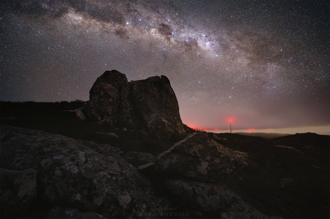
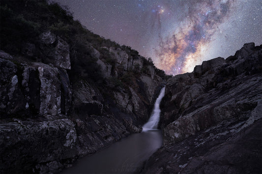
The galactic centre emerges over the rocky landscape of Cerro Catedral © Fefo Bouvier
Expedition to Cerro Catedral
What drove me to visit Cerro Catedral was its potential for landscape astrophotography. In 2020 I travelled around Uruguay in search of the best landscapes to see the night sky in Uruguay and during an expedition to Salto del Penitente it popped into my head to make a trip to the Catedral before continuing on to Barra de Valizas. I didn't go there to take pictures, but to make a first exploration of the surroundings because I knew that it fulfilled the criteria of dark sky that I was looking for with the Mirá las estrellas project. In that brief visit I also confirmed that it was accessible, safe and surrounded by a spectacular natural environment. Some time later I returned to make a photographic report and to write this publication.

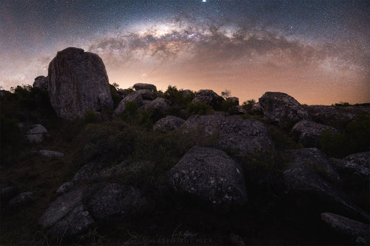
Granite blocks near the summit of Cerro Catedral and the Milky Way © Fefo Bouvier
For many Uruguayans (myself included), the highs and lows seen from Cerro Catedral are awe inspiring, but any attempt to boast about it is obviously overblown for most non-Uruguayans. Uruguay ranks 198th in the list of countries ranked by highest point above sea level. Thus, the Catedral has no comparison with the 8848 m a.s.l. of Mount Everest (Nepal) or the 6964 of Aconcagua (Argentina). It is not even distinguishable from a distance. Still, as I ascended the Cerro Catedral Road I physically felt the altitude.
I arrived near sunset and immediately set to work scouting the landscape and planning the photos I would take later. There wasn't much to analyse as the photos revolved around the large boulders near the summit. These curious formations are said to be the inspiration for its name. And that image is the one that most people identify as the Cerro Catedral. A few metres away there is a marker that indicates the highest point. There is something special about knowing that you are the highest Uruguayan when you stand there. Although you might be the second, if at that moment there is a technician working on one of the wind turbines.

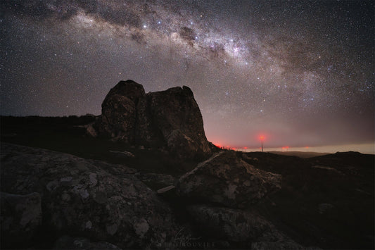
Nightscape near the summit of Cerro Catedral © Fefo Bouvier
A few minutes later the sun went down amid low clouds, the colossal wind turbines of the Carapé Wind Farm in the foreground and the hilly landscape in the background. Although it was clearing up—as predicted—the enthusiasm was short-lived. While I was waiting for the night to set up the equipment, without warning, the wind began to blow hard and a blanket of fog covered the landscape in a matter of minutes. I was then enveloped in a dark, damp cloud that glowed red to the rhythm of the windmill lights. Visibility was no more than two metres. It was a hair-raising walk to the shelter of the vehicle. Finally, after a couple of hours of impatient waiting, the mist gave way to a completely starry sky and the galactic centre appeared above the hill in mind-blowing clarity.

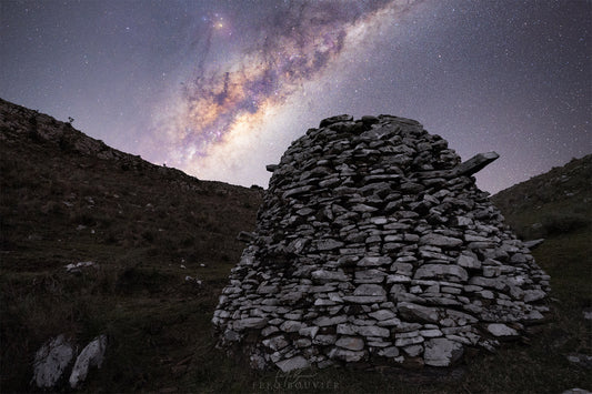
View from Cerro Catedral and the stars emerging from the fog © Fefo Bouvier
More than an expedition, it was a visit. And that is what I suggest for a place that has no food service or accommodation. Cerro Catedral is nothing more—and nothing less—than a panoramic point on a country road. An ideal place to stop the car and sit for a while and look at the stars.
What to do during the day in Cerro Catedral
The Cerro Catedral Road is very scenic, with beautiful views. A winding stretch of slopes and descents with areas of dense vegetation and others of vast panoramic landscapes. Along the way you can see several rocky peaks of interesting appearance. The sunset from the top of Cerro Catedral is quite an experience.

How to get to Cerro Catedral
From Montevideo, take Ruta Interbalnearia (IB) and then Ruta 9 to San Carlos. From there, take Ruta 39 to km 67 where you will see signs indicating Cerro Catedral to the right. Drive carefully along Camino Cerro Catedral* for 12 kilometres and look out for a sign that says "Cerro Catedral". You will be able to confirm that this is the indicated point because the road widens into a car park. The label on Google Maps takes you to exactly that spot.
*The Cerro Catedral Road is made of ballast and has stream crossings that can be submerged if it rains a lot. It is not advisable to drive on this road with low vehicles.
When to visit
Strong winds in the Catedral are constant. It is no coincidence that UTE (the national electricity company) has installed 17 windmills. Fog is also frequent. I suggest you take a look at several weather forecasts before visiting, paying attention to wind and humidity indicators.
Remember that days close to the new moon are ideal for observing the night sky because, in the absence of its brightness, the stars and the Milky Way can be seen more clearly.
I hope this article will be useful for you to plan your visit. If you have any questions, write to me in the comments.

9 comments
Gracias por tu bonito hoja informativa! Aunque no puedo ver los mismos cielos que tu como estoy en el hemisferio norte, precisamente por eso disfruto tanto de tus fotos, observaciones y information!!! Gracias Fefo!
Muchas gracias por la info.👋
Ese lugar era totalmente oscuro, la instalación de los molinos de viento con sus balizas rojas arruinó el único lugar pristino y de mayor altitud que quedaba, Uds. que tienen vínculos y financiación con organismos estatales deberían sugerir a las autoridades pertinentes que apaguen las balizas dado que son innecesarias porque es una zona donde no hay vuelos de baja altitud, nisiquiera pasa por las rutas de navegación aérea, durante casi 100 años no hubo necesidad de señalizar nada en esa zona, si dejamos que hagan cualquier disparate todo el pequeñisimo pais va a quedar contaminado como paso con Montevideo por ejemplo, que hace 35 años se podia fotografiar la vía láctea con película de 400 y 800ASA y exposiciones de 5 a 10 minutos sin que la toma quede arruinada por la contaminación lumínica, hoy una exposición a ISO 400 de más de 30 segundos arruina todo el cuadro por el velo de la pésima politica de iluminación callejera, encima con la moda de los focos LED en todas las casas, edificios de gran altura con paredes hiperiluminadas con publicidades, cosas que habría que regular, hay constelaciones como la Lyra que se han perdido totalmente, salvo Vega por su gran brillo, el cuadrilátero principal que hace 30 años se podia ver a simple vista, hoy no se distinguen, el ojo humano puede ver unas 5000 estrellas en un cielo oscuro, en Montevideo y en especial en la zona entre Av. Italia y la Rambla, no se distinguen más de 120 estrellas, pésimo para un montón de gente que han trabajado duro consiguiendo y fabricando equipos para observación y fotografía, solo imaginen si no se pudiera tocar mas el tambor en las plazas, o jugar al football en las canchitas de barrio, o andar en bici por la rambla, hay que contemplar a todos los Montevideanos y no solo a un grupo en cuanto a sus hobbies y pasatiempos, para algunos es un tema que va mas allá de un hobbie. Agradezco la oportunidad para quebrar una lanza por la silenciosa y esforzada comunidad de astronomos aficionados que intentan desde hace mucho y sin ningún apoyo del estado, realizar trabajos de seguimiento de fenómenos celestes y muchas veces trabajando coordinados con el depto de Astronomía de la facultad de Ciencias.
Estuve el sábado 16/04/2022 lo hice en bicicleta desde rocha y retorno, llovió, hizo frío, calor, viento, niebla, cuando llego está divino y soleado, te hace sentir en paz y bendecido por la vista del entorno. Tus relatos e imágenes destacadísimos, de Mahoma y Buena Vista
Felicitaciones, Fefo!
En respuesta a Martín Suárez: Hola, Martín. Muchas gracias, me alegra que hayas disfrutado la lectura. Que yo sepa no existe un requisito formal ya que el lugar no tiene servicios ni está vigilado. Mi sugerencia es que lleves lo necesario para pasar la noche (carpa, agua, comida, abrigo y el celular con carga completa) y que pernoctes en el estacionamiento que hay sobre el camino —no dentro del predio. Si vas solo, te recomiendo avisarle a alguien que vas a estar ahí. Si bien se ha convertido en un lugar de esparcimiento, no deja de ser un predio privado. ¡Saludos!